A Quick-Hitting Winter Storm to Bring Power Outages and Hazardous Travel Conditions
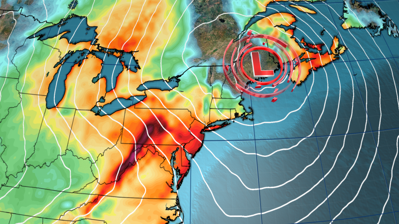
A potent winter storm is making its way across the Midwest to the Northeast, delivering intense bursts of snow and strong winds that could lead to power outages and dangerous travel conditions. The storm expanded its wintry conditions across the Great Lakes, Midwest, and parts of the interior Northeast on Wednesday, with snow squalls set to become one of the most hazardous impacts overnight into Thursday.
Snow squalls are brief but intense bursts of heavy snow and strong winds that can create blinding, whiteout conditions, making it incredibly dangerous for drivers. The Weather Prediction Center warned that “there is no safe place on a highway during a snow squall” and that dangerous travel conditions, including whiteout visibility and rapidly worsening road conditions, are likely.
Strong winds capable of knocking out power and damaging trees are another hallmark of this storm, particularly from the Appalachians and mid-Atlantic to the New England coast. Wind gusts of 30 to 50 mph are expected to roar over the Northeast and parts of the mid-Atlantic, including Washington, DC, Philadelphia, and New York City.
Snow from this storm will impact a much larger area than previous storms, but is expected to dodge the cities along the Northeast’s I-95 corridor. The most significant snowfall will occur in elevated areas and downwind of the Great Lakes, where 5 feet of snow fell over the holiday weekend. Snow and lake-effect from the storm could dump another 1 to 2 feet on areas still digging out.
In the lower elevations, lighter snowfall of up to an inch or two is possible. A few snowflakes could also mix with rain at times along the I-95 corridor, with any accumulating snow unlikely close to the coast. However, wet roads and chilly air could lead to slick spots and tricky travel.

